Zao Hill-climbing Course
Zao Town
蔵王大権現 大鳥居
Zao Daigongen Otorii
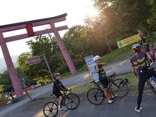
The starting point for this course is at the vermillion torii gates of Zao town. The Zao Hill Climb course starts here.
- Address
- 宮城県刈田郡蔵王町遠刈田温泉字鬼石原
![]() 4.5km
4.5km
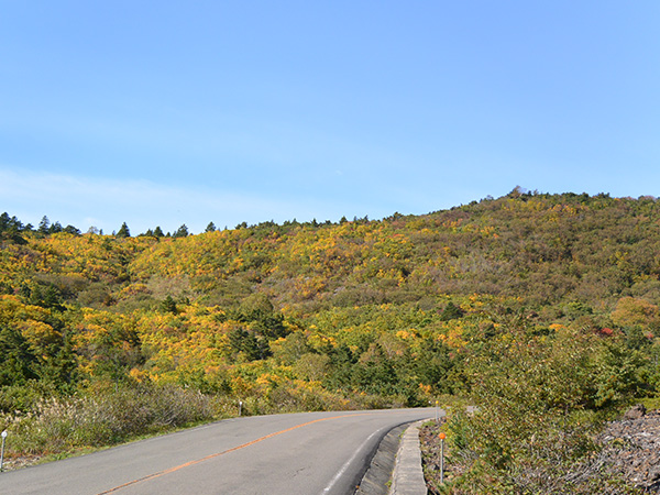
滝見台
Takimidai
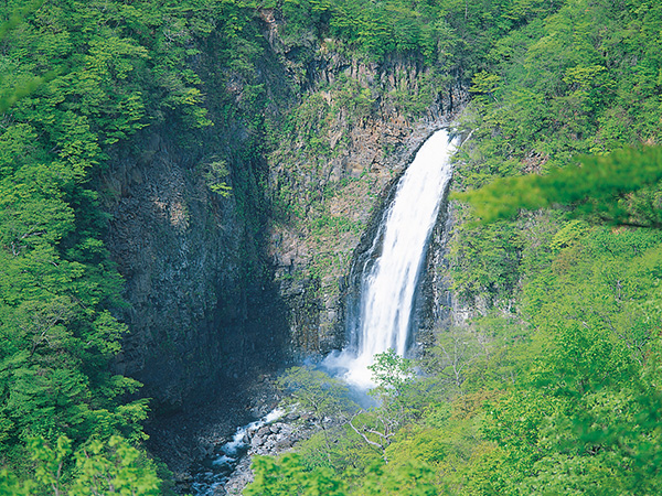
Located 700 meters above sea level, you can see several waterfalls. The autumn leaves are spectacular to look at.
- Address
- 宮城県刈田郡蔵王町遠刈田温泉倉石岳国有地内
![]() 5.2km
5.2km
宮城蔵王すみかわスノーパーク
(グリーンシーズンは、「くもわくテラス」)
Miyagi Zao Sumikawa Snow Park
(In green season, Kumowaku Terrace)
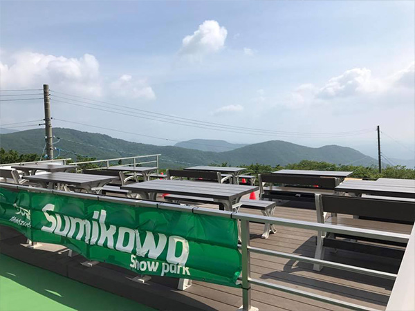
From the observatory which is only open during green seasons, you can see Mt. Zao and the Pacific Ocean, and even Kinka Mountain in the northern part of Miyagi Prefecture on a clear sky day.
- Address
- 宮城県刈田郡蔵王町遠刈田温泉字倉石岳国有林内
![]() 11.2km
11.2km
賽の磧
Sainokawara
Volcanic rocks and volcanic gravels are deposited by repeated eruptions on the east of Kattadake, with an altitude of nearly 1,300 m. This is a wide rocky field without trees.
- Address
- 宮城県蔵王町遠刈田温泉倉石岳国有林地内
- Support
- Bathroom / Water
![]() 18.7km
18.7km
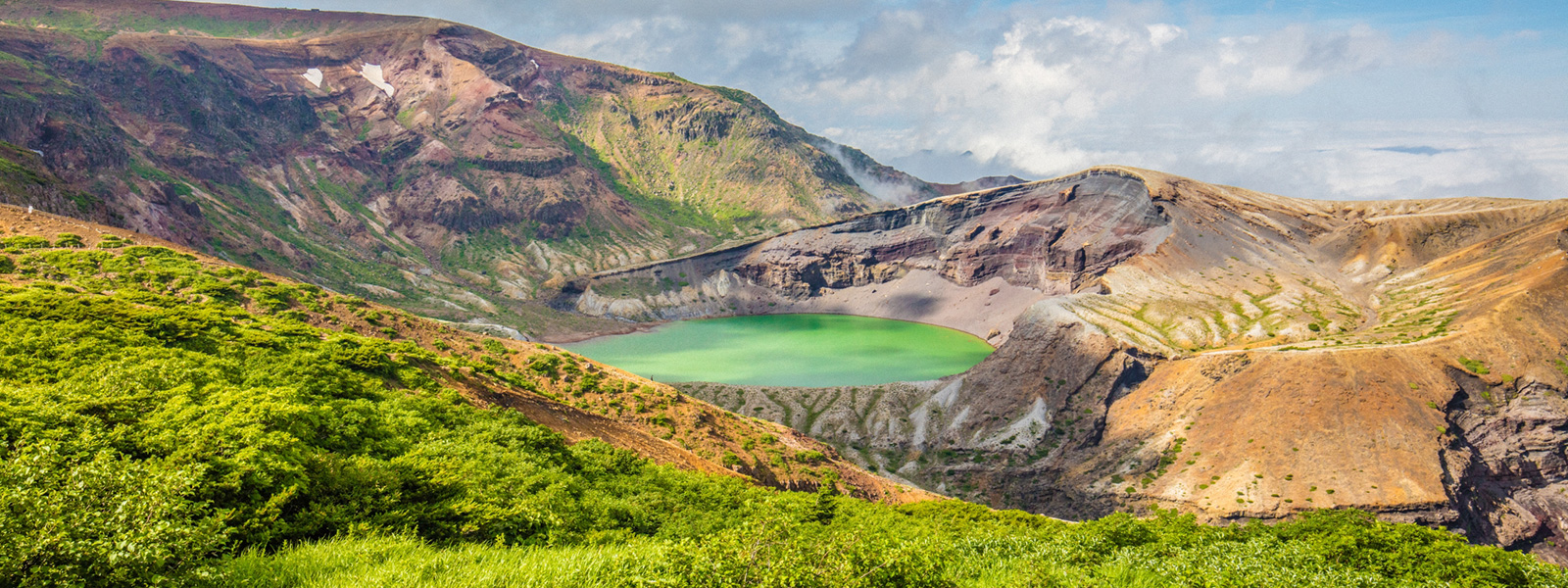
御釜
Okama Crater
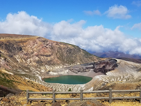
A circular crater lake surrounded by the 3 peaks of Zao Kumanodake, Kattadake, and Goshikidake. It got the name "Okama" from its kettle shape. The emerald green water of the lake is very shiny.
- Address
- 宮城県蔵王町遠刈田温泉倉石岳国有林地内
- Support
- Information corner / Parking lot / Bathroom / Water