Southern Miyagi Prefecture Hamakaido Cycling Route
Natori City → Iwanuma City → Watari Town → Yamamoto Town
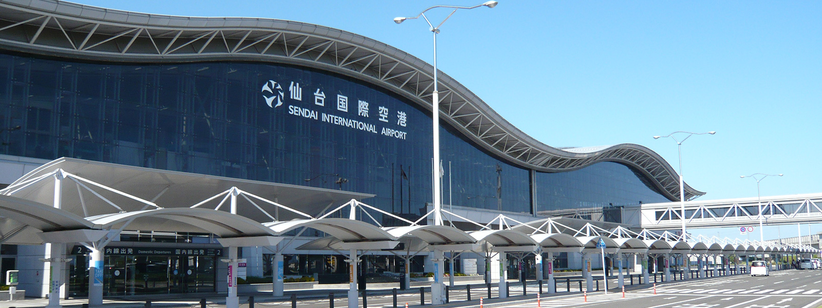
仙台空港
Sendai Airport
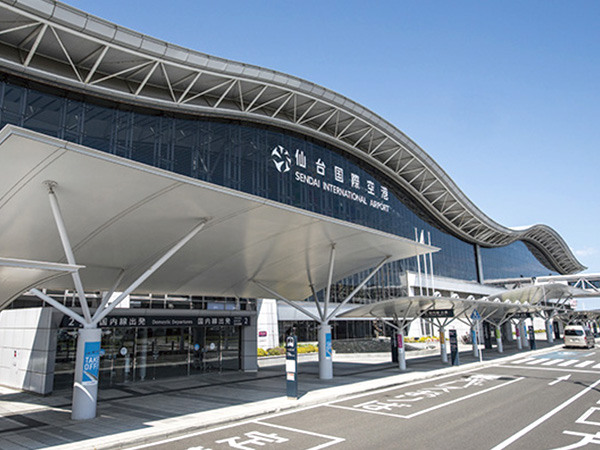
The starting and ending point of the course is Sendai Airport.
Sendai Airport is located in the southern part of Miyagi Prefecture, a gateway to the sky in the Tohoku region. Also equipped with lockers and shower for cyclists.
- Address
- 宮城県名取市下増田南原
![]() 5.3km
5.3km
メイプル館
Maple Pavilion
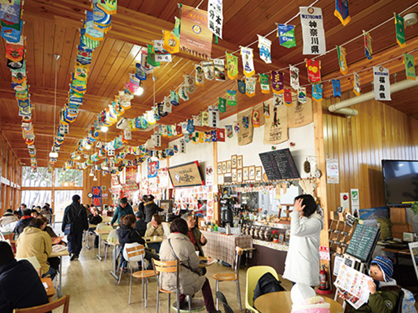
Besides the morning market, people can also go for meals or go shopping here. Materials and images related to the earthquake are also exhibited.
- Address
- 宮城県名取市閖上5-23-20
- TEL
- +81-22-395-7211
- Support
- Information Corner / Parking lot / Bicycle pump / Bathroom / Food / Cafe
![]() 18.8km
18.8km
森の芽ぶき たまご舎 名取愛島本店
Tamagoya Natori Medeshima
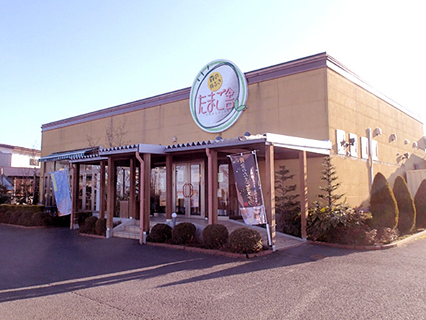
Selling eggs produced in Miyagi Zao as well as sweets. The café is also very popular.
- Address
- 宮城県名取市愛島笠島字上平88-3
- TEL
- +81-22-381-0095
- Support
- Parking lot / Bathroom / Water / Food / Café / AC Power
![]() 25.0km
25.0km
農水産物直売所 やまもと夢いちごの郷
Yamamoto Yumeichigo-no Sato
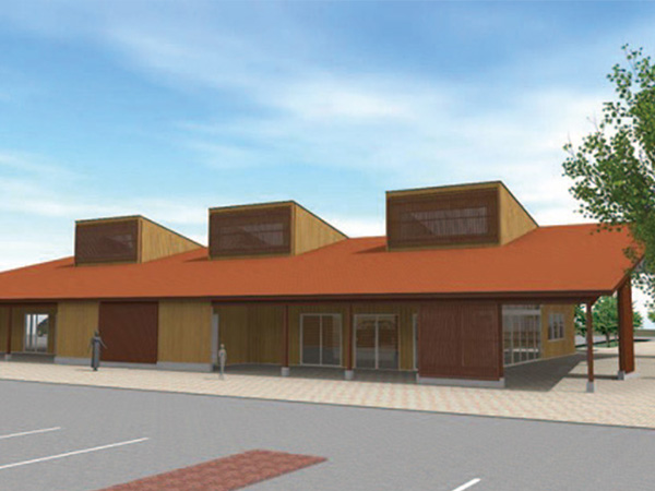
A store that sells fresh vegetables and fruits, seafood, etc. A helpful information center is available for use too (will be open in February 2019).
- Address
- 宮城県亘理郡山元町坂元字荒井183-1
- Support
- Information corner / Parking lot / Bike racks / Bathroom / Water/ Food
![]() 12.7km
12.7km
わたり温泉鳥の海
Watari Onsen Torinoumi
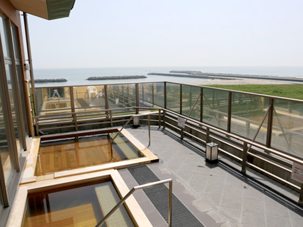
A healing hotspring where you can enjoy a view of the Pacific Ocean and Mt. Zao.
- Address
- 宮城県亘理郡亘理町荒浜字築港通り41-2
- TEL
- +81-223-35-2744
- Support
- Parking lot / Bike racks / Bathroom / Food / Wi-Fi