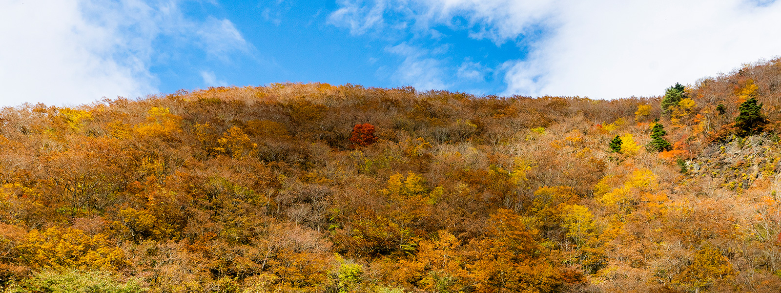
Kurikoma Mountain Foot Exploration Course
Kurihara City
あいすむら
Aisu-mura
As the name of the shop shows, you can understand their feelings towards the beloved village. This ice-cream shop uses local fresh ingredients and delicious milk.
This shop usually has 18 different kinds of flavors available where none of them use preservatives. They values freshness.
- Address
- 宮城県栗原市一迫字屋敷田18-1
- Support
- Bathroom / Parking lot / Food
![]() 7.3km
7.3km
道の駅 路田里はなやま 自然薯の館
Roadside station Rotari-hanayama
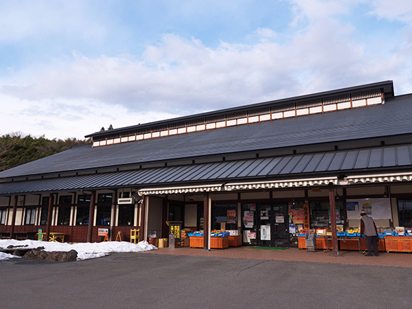
Local farmers sell Hanayama specialty Japanese Yam, vegetables and mushrooms.
- Address
- 宮城県栗原市花山字本沢北ノ前112-1
- Support
- Bathroom / Parking lot / Food
![]() 8.1km
8.1km
細倉マインパーク
Hosokura Mine Park
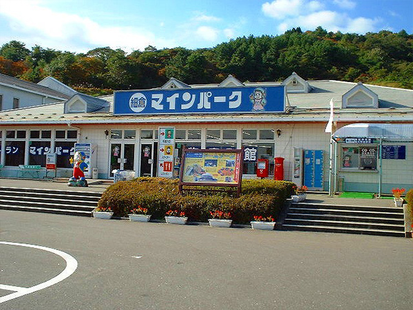
It's a theme park where you can experience the 1200-year-history of Hosokura Mine and learn about the history of mines.
- Address
- 宮城県栗原市鶯沢南郷柳沢2-3
- Support
- Bathroom / Parking lot / Food
![]() 19.2km
19.2km
藍染湖ふれあい公園
Aizenko Fureai Park
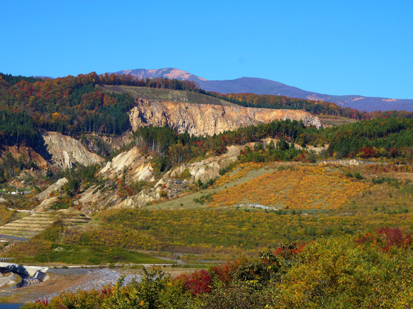
A park where you can see landslide traces from the earthquake of Iwate and inland Miyagi. It is also selected as one of Japan's one hundred geological destinations.
- Address
- 宮城県栗原市栗駒文字荒砥沢45
- Support
- Bathroom / Parking lot
![]() 11.2km
11.2km
愛藍人・文字
Airando Monji
A facility that uses the oldest dyeing method in Japan known as "Shoaizome" . In addition to exhibitions and sales of indigo dyeing, there are also dining halls and direct selling places where you can taste local ingredients.
- Address
- 宮城県栗原市栗駒文字鍛冶屋103
- Support
- Bathroom / Parking lot / Food